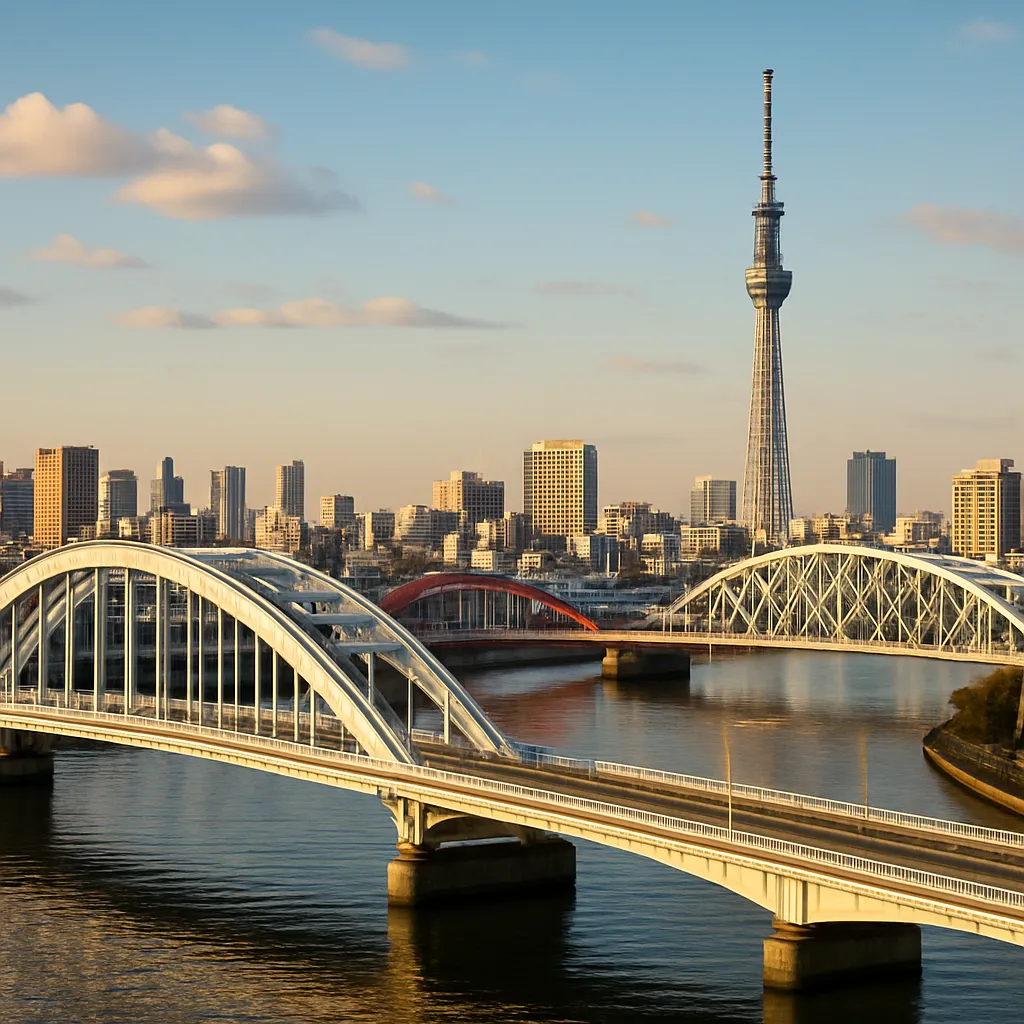
Beneath the bustling streets and neon-lit avenues of Tokyo, a network of hidden rivers and canals flows quietly, carrying echoes of centuries past. While the city’s modern skyline captures global attention, these waterways reveal layers of ingenuity, adaptation, and resilience. From Edo-period engineering marvels to contemporary ecological preservation efforts, each channel tells a story of transformation and revival. This exploration invites readers to delve into Tokyo’s submerged veins, retracing the past and charting new paths toward sustainable urban living.
Historical Traces Beneath the Streets
Early Edo Engineering
During the 17th century, as the Tokugawa shogunate established its seat in what is now central Tokyo, engineers and laborers redirected natural streams to support burgeoning commerce and agriculture. Canals were constructed to connect rivers like the Sumida and Kanda, enabling efficient transport of rice, timber, and fish. These waterways became arteries of an Edo metropolis that relied on boat traffic rather than horse-drawn carriages. Ingenious water gates, embankments, and sluices regulated flow, preventing floods while sustaining rice paddies on the city’s outskirts.
Disappearance and Rebirth
As Tokyo modernized in the late 19th and early 20th centuries, many channels were filled in to make way for roads and railway lines. The rise of asphalt and concrete buried smaller streams beneath layers of infrastructure, leaving only subtle depressions or occasional storm grates as hints of their existence. Yet interest in cultural heritage spurred a movement of rediscovery. Historical maps and local archives guided urban planners and enthusiasts in identifying former watercourses. In some districts, original stone embankments and weirs resurfaced during subway excavations, reawakening public curiosity about the city’s watery past.
The Urban Landscape of Hidden Waterways
Mapping the Subterranean Streams
Advances in GIS technology and ground-penetrating radar have allowed researchers to produce detailed maps of Tokyo’s lost waterways. Layers of data integrate Edo-period documents with modern surveys, revealing channels that run parallel to major streets or dive beneath high-rise blocks. Enthusiasts can now trace the course of the Shibuya River from the heights of Yoyogi Park down to its confluence at the Sumida. In neighborhoods like Meguro and Yanaka, community groups maintain interactive maps that encourage walking tours and citizen science projects.
Points of Interest
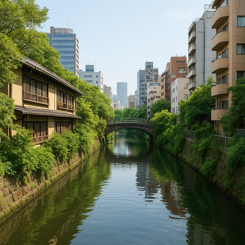
- Kanda River: Once an open stream weaving through low-lying villages, much of its course is now culverted. However, sections near Ochanomizu retain open channels with tree-lined banks and pedestrian pathways.
- Meguro-gawa: Famous for cherry blossoms, this canal hosts annual sakura festivals. Below ground, its tributaries feed ornamental ponds in nearby parks.
- Shibuya River: Hidden beneath the iconic Scramble Crossing, it reemerges near the Shibuya Stream redevelopment, offering riverside cafes and pedestrian plazas.
- Nihonbashi Channel: Historically central to Tokyo’s commerce, restored sections around COREDO Muromachi display original stone walls and wooden walkways.
- Sumida Underground Tunnels: These large conduits manage floodwaters but also house pop-up art installations and urban kayaking events during dry seasons.
The Cultural and Ecological Revival
Community Engagement and Art
In recent years, local residents have taken active roles in celebrating these buried waterways. Artist-led initiatives transform manhole covers or storm grates into miniature murals depicting carp, lotus flowers, and famously bustling Edo markets. Canoe clubs organize guided paddles through the Sumida Underground Tunnels, illuminating the interplay of light and shadow along narrow brick-lined passages. Monthly cleanup drives remove debris and plant native riparian species along open segments, strengthening neighborhood bonds and enhancing biodiversity.
Green Corridor Initiatives
Urban planners have embraced the concept of “daylighting” — uncovering sections of buried streams to create linear parks. Pilot projects along the Shibuya River and near the Nihonbashi Bridge have instituted native grasses, stepped banks, and boardwalks for pedestrians and cyclists. These green corridors improve air quality, mitigate the urban heat island effect, and provide habitats for birds, fish, and amphibians. By prioritizing ecology alongside transportation, Tokyo demonstrates a holistic approach to sustainable urban development.
Tourism and Exploration
- Guided Walking Tours: Expert-led strolls through Asakusa, Kiyosumi-Shirakawa, and Ueno highlight concealed canals and their historical contexts.
- Kayak Experiences: Seasonal rentals allow paddlers to navigate shallow canals, passing beneath centuries-old stone bridges.
- Interactive Exhibits: Museums like the Edo-Tokyo Museum feature scale models and virtual reality reconstructions of the city’s waterways network.
- Art Installations: Temporary light and sound displays in culverted tunnels invite visitors into an immersive sensory journey.
Future Challenges and Opportunities
Flood Management and Climate Resilience
With climate change intensifying rainfall patterns, Tokyo’s buried streams present both risks and solutions. Flood control systems must balance rapid drainage with natural retention. Engineers are exploring underground retention ponds and permeable pavements to dampen runoff. Meanwhile, restored canals can serve as overflow channels, reducing pressure on sewers during heavy storms. Integrating traditional water management techniques with modern technology honors the city’s heritage while preparing for the future.
Policy and Public Awareness
Effective preservation of these waterways relies on cross-sector collaboration. Government agencies, academic institutions, and community groups advocate for policies that protect open stream segments and support “green zoning.” Educational programs in schools teach children about historical water transport and local ecosystems. By fostering a sense of ownership, residents become stewards of their submerged neighborhoods, ensuring that hidden rivers and canals remain living legacies rather than forgotten relics.
Continuing the Exploration
The story of Tokyo’s waterways is far from complete. As construction projects unearth forgotten channels, and as novel approaches to urban design gain traction, new chapters emerge in the city’s aquatic narrative. Enthusiasts are encouraged to download updated maps, join citizen science surveys, and participate in volunteer planting events. Each paddle, each photo, and each conservation effort contributes to a collective tapestry of exploration and respect for the forces that shaped Tokyo’s growth.
A Living Network
Ultimately, Tokyo’s underappreciated rivers and canals serve as reminders of a time when water governed movement and settled the land. By bridging past and present, they inspire innovative solutions for tomorrow’s challenges. Whether through kayak blades slicing through subterranean streams or footsteps along restored embankments, the city’s hidden waterways await discovery, encouraging all who wander to listen closely to the murmurs flowing beneath their feet.